Uncover water history near Amsterdam
17 July 2026
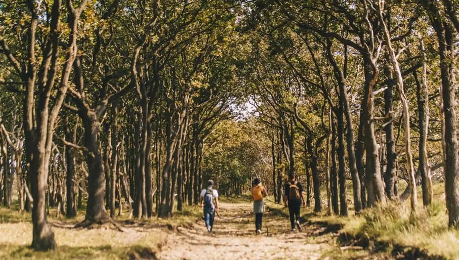
Begin your journey at the edge of Zuid-Kennemerland National Park, where you’ll take in a breathtaking sprawl of seaside wilderness. Cascading dunes covered in long grasses provide the perfect environment for wildlife, with everything from herons taking flight to rugged woolly Highlander cows wandering along the coast. Take in the grand Duin & Kruidberg estate, built in 1895 in the Dutch Renaissance Revival style, which is worth a visit on its own merits. This estate, built by a wealthy Amsterdam-based merchant who escaped the grime of the city to enjoy the fresh sea air of Kennemerland, was at the time of its completion in 1909 the largest private country house in the Netherlands. These days, it’s the site of weddings and events, and for good reason: the beauty of its striking architecture is matched only by the natural beauty of the landscape around it.
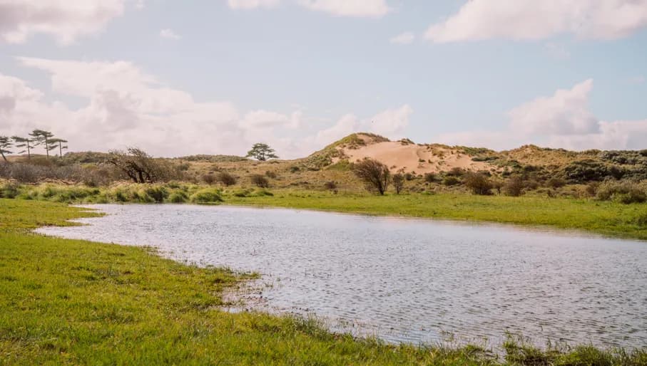
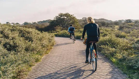
Follow the trail into the natural park, and you’ll wind along sandy footpaths and over the heath, which is covered in stunning explosions of heather – known lovingly in the Netherlands as hei. Head through the dunes and towards Vogelmeer, a freshwater lake hidden among the sand hills. It’s here that you’ll truly see how the contrast between the sand dunes and the open water creates a haven for wildlife. Birdwatchers are regulars here, spotting spoonbills and grebes, and impressive migratory waterfowl that come to rest by the lake. In the spring and summer months, the lake is encircled by colourful wildflowers that attract countless butterflies.
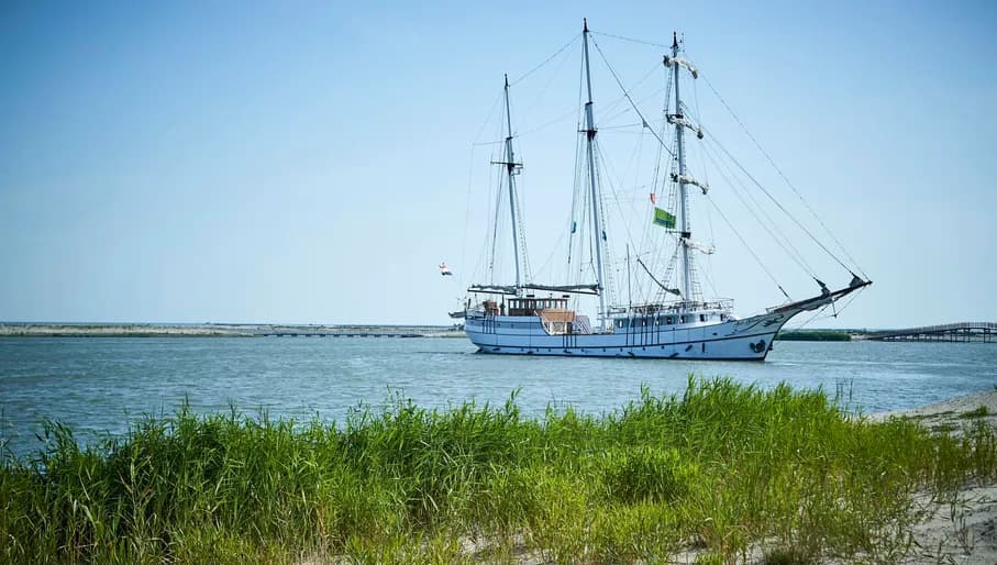
As the newest province of the Netherlands, Flevoland is a feat of imagination and hydraulic engineering. Up until the mid-20th century, this entire landscape didn’t exist it all – instead, it lay beneath the waters of the Zuiderzee, a shallow sea that often flooded the communities along its shores. Following a particularly devastating flood in 1916, innovative engineer Cornelis Lely proposed the Afsluitdijk – translating literally to the ‘shut-off dam’ – which effectively sealed off the Zuiderzee from the rest of the North Sea. A huge process of land reclamation was made possible (entire regions were drained of water and became part of the Netherlands), in a story of almost mythological proportions. And that’s how the Flevoland region was born, arguably best explored by boat.
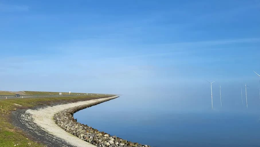
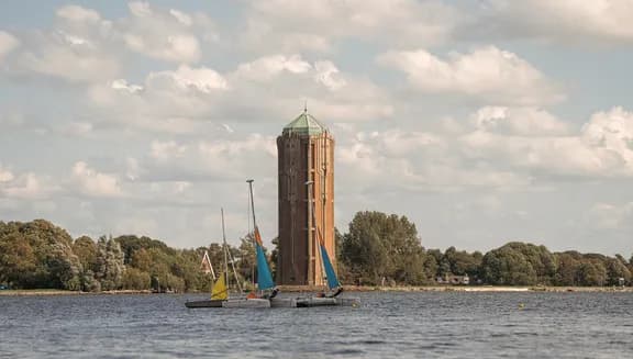
It’s no surprise that water remains closely tied up with the identity of Flevoland. You can explore all this history and water-side beauty in a 3.6-kilometre trail along Lelystad's waterfront. Beginning at the Houtribsluizen, you can discover the complicated locks that regulate water levels and still allow ships to pass between the IJsselmeer and the Markermeer. As you walk along land that was once submerged beneath the water, it’s impossible not to admire these water management systems that keep an entire region dry and livable. Without this carefully managed network of dikes, drainage canals, sluices and pumps, Flevoland would gradually sink beneath the water again. As you continue along Lelystad’s waterfront, you’ll pass Museum Batavialand – a reconstruction of the VOC ship Batavia, which was shipwrecked off the Australian coast in the 17th century – where you can trace how the Netherlands relied on water for trade and exploration.
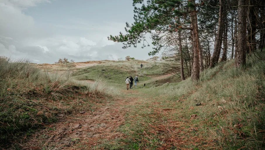
More than simply a Formula 1 destination, Zandvoort's neighbouring dune landscape offers one of the finest waterside walks in the country. Known as the Amsterdamse Waterleidingduinen, this protected dune reserve combines freshwater channels and natural wetlands for scenes of classical Dutch beauty. The scale of the park is also staggering: at 3,400 hectares, this system of dunes and waterways has supplied Amsterdam with drinking water since 1853. Right here, in the breathtaking dune landscape, you’ll find the birthplace of the Netherlands' first public water supply.
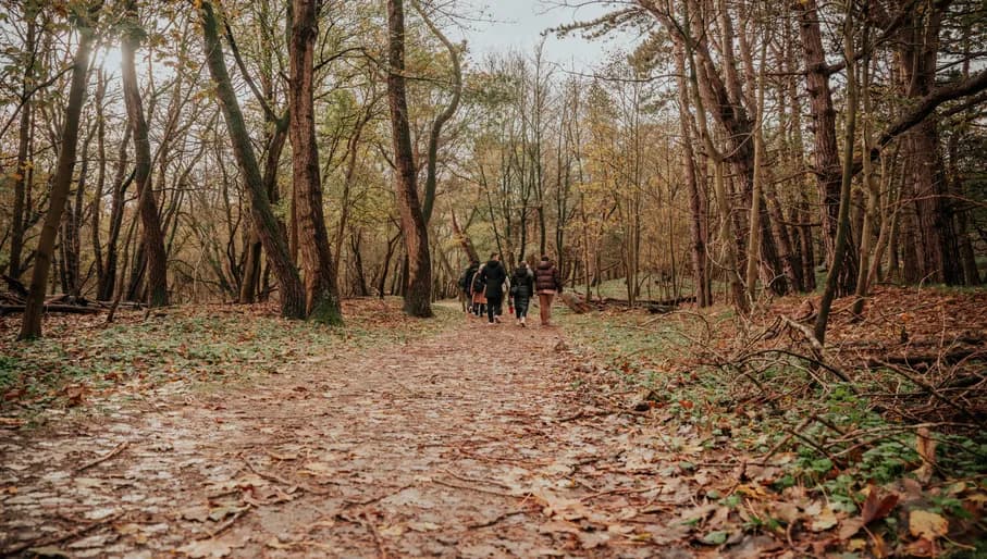
Start from the southern edge of Zandvoort, where you’ll follow a network of paths alongside watercourses originally developed to provide Amsterdam with its drinking water. These days, the waterways are vital for wildlife, including kingfishers, dragonflies and deer, and support over 800 species of plants. With its wonderfully rugged landscape and windswept grasses, the Waterleidingduinen are unusually wild for the Netherlands, a country where most land is already used for agriculture or urban life. One of the reserve's greatest pleasures is its freedom to wander about. Unlike many nature reserves, visitors here are permitted to leave the marked trails and walk about the open dunes, immersing themselves in the wildness of the landscape.